Federal Flood Maps Lag Behind Climate Disasters, Leaving Millions at Risk
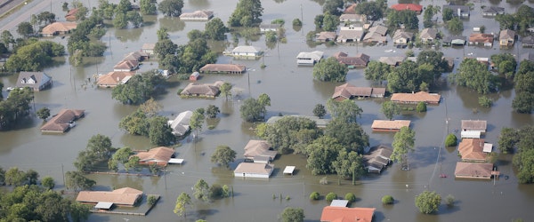
Wednesday, October 9th, 2024 Catastrophe Legislation & Regulation Property Risk ManagementThe intensifying effects of climate change are exposing critical flaws in FEMA’s flood-risk maps, which underlie crucial decisions for homeowners and businesses across the U.S. These maps, while primarily designed for river and coastal flooding, often fail to capture the growing threat of heavy rain-induced flooding, as seen in the wake of Hurricane Helene. A Bloomberg Green analysis found significant discrepancies between FEMA’s high-risk zones and actual flooding in cities like Augusta, Valdosta, and Greenville, with many flooded properties located outside of designated high-hazard areas.
FEMA’s maps, some over 15 years old, only mandate flood insurance for properties within specific risk zones, leaving many Americans unprotected from growing flood risks. With climate change driving more frequent and severe storms, private companies have started offering alternative flood-risk maps, though these are not without their own issues. FEMA is working on a plan to update its flood maps with new technology and climate data, but progress is slow, leaving millions potentially underinsured or uninsured in the meantime.


