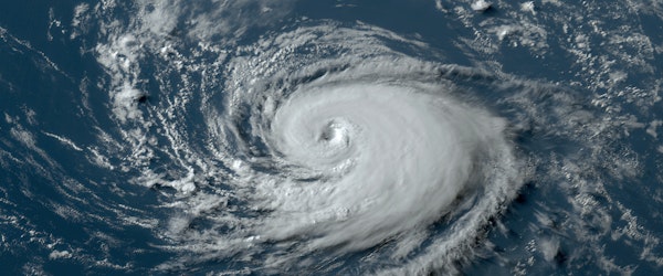
Hurricane Threat Looms for Gulf Coast as Atlantic Storm Intensifies
Monday, September 23rd, 2024 Catastrophe Litigation Property Risk ManagementThe US Gulf Coast, from Mississippi to the Florida Panhandle, is on alert for a potential hurricane strike by the end of this week as a turbulent weather system in the Atlantic continues to gain strength. According to the US National Hurricane Center, the storm currently has a 70% chance of developing into the Atlantic’s next named storm, possibly Helene, by Wednesday.
Forecasters predict the storm will pass between Cuba and Mexico’s Yucatan Peninsula before heading north across the warm waters of the Gulf of Mexico. Landfall is expected somewhere between Bay St. Louis, Mississippi, and Florida’s western coast, with the storm possibly reaching Category 3 status. Senior meteorologist Tyler Roys of AccuWeather Inc. expressed concern over the storm’s rapid intensification, which could bring winds of 111 miles per hour or more.
Meanwhile, another system is threatening Mexico’s Oaxaca state. Tropical Storm John is expected to bring heavy rainfall and potentially catastrophic flooding, with a chance of developing into a hurricane before it makes landfall on Wednesday.


