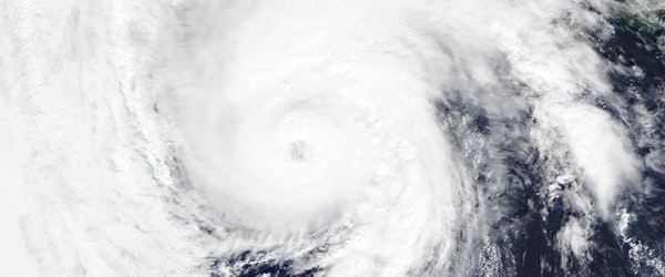
Tropical Storm Warning Issued for Southern Texas as First Storm of Hurricane Season Approaches
Tuesday, June 18th, 2024 Catastrophe Legislation & Regulation Property Risk ManagementThe first tropical storm warning of the current hurricane season was issued early Tuesday, as coastal communities in southern Texas brace for heavy rain and potential flooding. The storm, forming over the southern Gulf of Mexico, is anticipated to reach land as a potential tropical cyclone, according to the National Hurricane Center. If it intensifies, it will be named Tropical Storm Alberto.
The warning spans from Port O’Connor, Texas, to the mouth of the Rio Grande and extends along Mexico’s Gulf Coast. Rainfall from the storm is expected to impact Central America as well. Current forecasts indicate that the storm system is already producing maximum sustained winds near 40 mph, likely to strengthen within the next 36 hours.
Moderate coastal flooding in Texas is predicted to begin on Tuesday morning and worsen by Wednesday. The storm, tracking north over the Gulf, is expected to turn west-northwest towards land by Wednesday night. Regions in northeastern Mexico and southern Texas may experience 5 to 10 inches of rainfall, with some areas facing more severe inundation.
A significant storm surge combined with high tide could cause water levels to rise as much as 4 feet along parts of the Gulf Coast in Texas and Mexico. The Atlantic Hurricane Season, which started on June 1, typically sees most storm activity from mid-August to mid-October.


