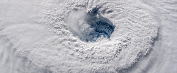
Tropical Storm Jerry Strengthens in Atlantic With Hurricane Potential by Thursday
Wednesday, October 8th, 2025 Catastrophe Insurance Industry Risk ManagementTropical Storm Jerry, formerly identified as Invest 95L, has officially developed in the Atlantic and is intensifying rapidly. Currently packing winds of 60 mph and moving west-northwest at 23 mph, Jerry is on track to become a hurricane by Thursday. While the storm remains far from the U.S. mainland, its projected path brings immediate concerns for parts of the Caribbean, particularly the northern Leeward Islands.
For insurance claims adjusters, especially those managing territories in the Caribbean or overseeing reinsurance portfolios, Jerry presents an early-season test of readiness. A Tropical Storm Watch is already in effect for the northern Leeward Islands, with potential wind impacts beginning late Thursday. Forecasts indicate 2 to 4 inches of rain could trigger flash flooding, a key precursor for property damage claims, particularly in flood-prone or mountainous areas.
Although Jerry is forecasted to curve northward and remain offshore of the U.S., the storm’s trajectory should still be monitored closely. Sudden shifts could alter risk exposure, especially for offshore assets and marine insurance coverage. As the Atlantic basin remains active, claims professionals should ensure regional partners and inspection vendors are on alert in storm-prone zones.


