AI Tool Creates Accurate Satellite Images Predicting Floods
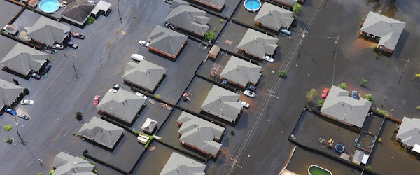
Monday, December 2nd, 2024 Catastrophe Insurance Industry Risk Management TechnologyResearchers at MIT have developed an innovative method for predicting flood impacts using generative artificial intelligence (AI) paired with a physics-based flood model. The approach produces highly realistic satellite images that visualize potential flooding caused by hurricanes and storms. Tested in Houston with data from Hurricane Harvey, the tool, called the "Earth Intelligence Engine," demonstrated improved accuracy over standalone AI models, reducing "hallucinations" or incorrect predictions.
The AI uses a generative adversarial network (GAN), a machine learning method with two competing networks. The GAN generates synthetic satellite images, while a physics-based model ensures these images align with real-world parameters like storm trajectory and flood patterns. This combination offers a practical, trustworthy visualization for communities to prepare for climate risks.
Lead researcher Björn Lütjens and his team envision the technology assisting public officials in evacuation planning by making flood predictions more relatable than traditional color-coded maps. Although still in the proof-of-concept stage, the tool has the potential to expand globally with additional training on diverse satellite imagery.
MIT’s research underscores the importance of using AI responsibly, particularly in risk-sensitive applications. Supported by NASA, Google Cloud, and other partners, the project represents a step toward leveraging AI to safeguard communities against climate impacts.


